#googlemap #click #apglossurveywizard
Land survey app Apglos Survey Wizard has Google Maps integrated. That means the GPS surveying app can use also the functionality of Google Maps.
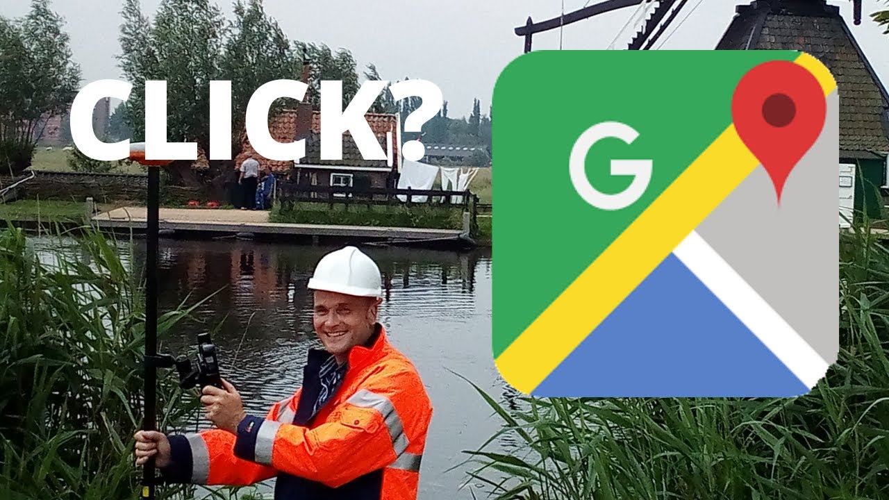
And one of those things is that you can click on the Google Map. Our developers worked hard to give this Google Map click a function. That function is that you can select a length element when you click on the Google Map.
Of course there need to be length elements in the Google Map in land survey app Apglos Survey Wizard. Otherwise nothing will be selected.
After selecting the length element you can do anything what you want with it, like adding points, removing it, staking out, drawing with it. Also you can calculate lengths, areas and volumes with it. This depends on what kind of length element you selected with a click on the Google Map
You can download Apglos Survey Wizard from the Google Play Store:
https://bit.ly/2Ld6b1N
Find our dealers here:
https://www.apglos.eu/land-surveying-equipment-dealers-including-apglos-survey-wizard/
And check the land surveying software and hardware in our webshop:
https://www.apglos.eu/shop/
If you like this video or want to stay up to date to our offers and discounts subscribe to our youtube channel:
https://www.youtube.com/channel/UCZDxNfdhBBX6Os-ze6h4z6A?sub_confirmation=1
To connect a GNSS receiver to land survey app Apglos Survey Wizard we use the free app Apglos Config Wizard. You can download this free app from the Google Play Store:
https://play.google.com/store/apps/details?id=eu.apglos.apglosconfigwizard
Apglos created this video. Apglos is a software development company. And we developed the easiest land survey app. It is Apglos Survey Wizard.